

Southern Albertans have been enjoying a warm October so far, but that's about to change.
A high pressure system has brought about one of the warmest Septembers in recent history, which bled into the first few weeks of October.
This week alone saw record-breaking highs for High River, with Monday's 26.4 degrees beating the 1914 record of 22.2, and yesterday's 25-degree high beating the 23.5-degree record set in 2003.
Unfortunately, Environment & Climate Change Canada meteorologist Kyle Fougere says the weather is about to catch up with us.
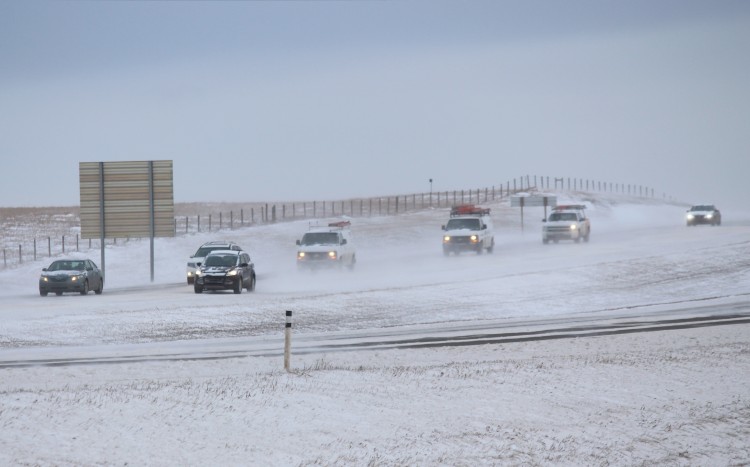
"We're going to see a drastic change coming towards the end of this week. First, we have a cold front moving through on Thursday but we're not going to see a lot of weather with it, it's just going to bring temperatures back toward normal for this time of year. Then we're going to see a pretty significant low pressure system move through on Friday into Saturday, which, unfortunately, will likely bring our first snowfall to parts of Central and Southern Alberta. Potentially significant snowfall as well."
Following that low-pressure system, things are expected to stay around 9 degrees (what we'd normally see at this time of year.)
In the longer term, things could swing a little higher, bringing the temperatures into the 10s, but the 20-degree weather we've been enjoying isn't likely to return after this weekend.
It was a good run, but Fougere says it had to come to an end.
"As you get later into October and into November, you're really starting to lose a lot of sunlight. That sun is now south of the equator as we're past the autumnal equinox, and we really start to see temperatures drop."
To stay updated on the local forecast, head to our weather page.


 Thu, Apr 25, 1:00 PM
 Full-time, Permanent, Communications/Media